Manmunai North
Batticaloa Fort

- Location
Fort Road, Batticaloa, Sri Lanka
- Overview
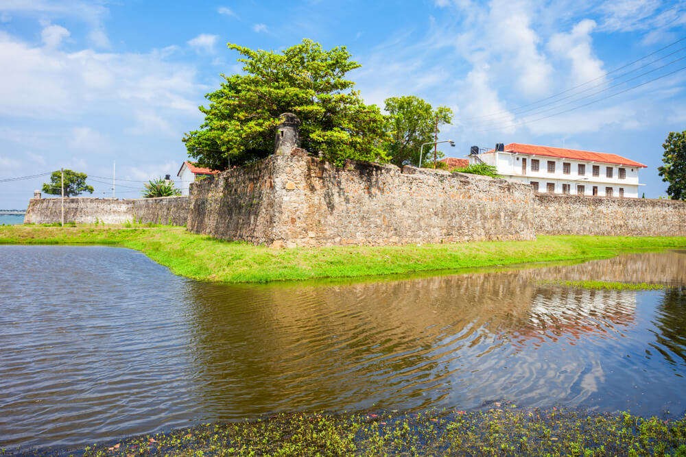
The Batticaloa Fort, also known as Dutch Fort, is surrounded by lush vegetation and tidal ponds and is associated with many happy memories. The Portuguese built it for the first time in 1628.
Its impressively thick walls, which hold a great deal of excellence and aesthetic value, will probably cause you to stare in awe. Visitors are greeted within the fort by a panoramic view of the serene tidal pond that enhances the beauty of the area.
Batticaloa Lagoon
- Location
Batticaloa District, Sri Lanka
- Overview
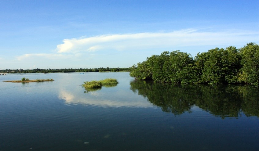
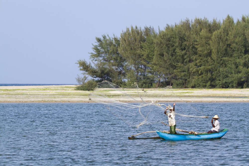
If you're looking for an adventure, head out to Sri Lanka's Batticaloa Lagoon. The beautiful bridges, including the Lady Manning Bridge, that let visitors to cross the lagoon and are made up of Puliayantheevu Island, Bone Island, and Buffalo Island are fairly attractive tourist destinations.
Old Kallady Bridge
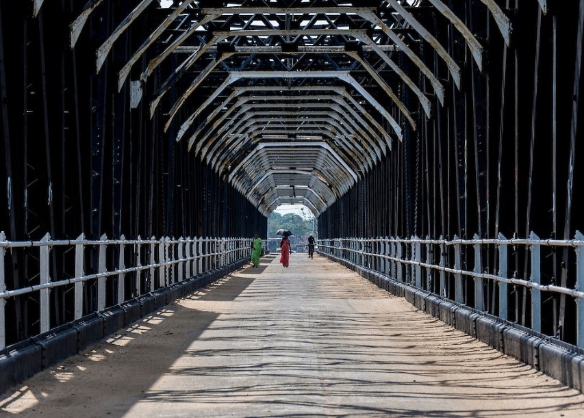
- Kallady Bridge also known as the Lady Manning Bridge is a road bridge in eastern Sri Lanka. It crosses the Batticaloa Lagoon at Batticaloa. The bridge is part of the A4 Colombo-Batticaloa highway.
- During the British colonial era, the bridge was constructed in 1924. In honor of William Manning, the British Governor of Ceylon, and his wife, the bridge was given the name Lady Manning Bridge. It was Sri Lanka's oldest and longest iron bridge. 10,000 cars traversed the slender, one-lane bridge per day on average. Traffic congestion in the vicinity would result from accidents on the bridge.
- The singing fish mythology of Batticaloa is connected to the bridge. Fish singing under a bridge was captured on tape in 1954 by two American priests from St. Michael's College in Batticaloa, Rev. Fr. Lang and Rev. Fr. Moran. In the 1960s, Radio Ceylon aired the track.
Thiruchendur Murugan Aalayam kallady
- Location
Navalady Road, Kallady, Batticaloa
- Overview
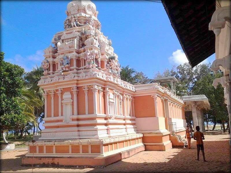
The temple, which was constructed in 1984 as a pit stop on the Pada Yatra pilgrimage to Kataragama, is famous for its Murugan picture, which is reported to have opened its eyes before the painter could finish it. The tsunami struck the building, causing its modest gopuram to bend at an unsettling angle. Between Third and Fourth Cross Streets in Kallady, the colourful leaning tower is located close to the beach.
Mamangam Pillaiyar Kovil
- Location
Sri Mamangeswarar Temple , Amirthakali, Batticaloa, Sri Lanka
- Overview
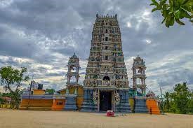
One of the oldest Hindu Kovils (temples) in Batticaloa and the country's eastern province is the Mamanga Eswarar Temple, which is located about three kilometers from Batticaloa town. This temple was built during the second and third century AD, according to some historical accounts and folklore, and it was located where Prince Rama had offered prayers to Lord Shiva while looking for Princess Seeta and had placed a handful of rice to represent Lord Shiva. The location was given the name Maamanga-Easwara because this lump of rice had transformed into a lingam. based on the Mattakalappu Maanmium, an old text.
Our Lady of Presentation
- Location
The church is located in the A15 highway (Trincomalee road), and situated in Thandavanveli, which is in municipal council area of modern Batticaloa town, and 1 km away from the main administrative location, Puliyanthivu.
- Overview
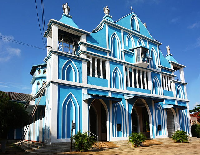
Church of Our Lady of Presentation is a church of the Roman Catholic Diocese of Batticaloa in Thandavanveli. The church is one of a landmarks and catholic historical places in the district of Batticaloa, Sri Lanka. According to the recorded documents, it is known as the first and oldest church in the district.
Batticaloa Lighthouse
- Location
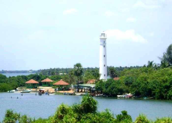
The lighthouse at Batticaloa is located on Bar Road, about 5 kilometers from the city. You may get there by taking Lake Road, also known as Munich Vittoria Friendship Road, next to Kallady Bridge, and traveling for about 4 kilometres along Sinna Uppodai Lagoon. It's a beautiful location to bike or walk through.
- Overview
The Batticaloa Lighthouse, which is in the neighbourhood of Paalameenmadu, is a relic that serves as a reminder of the colonial past that still resonates across the city for many visitors. The British government constructed the Batticaloa Lighthouse in 1913 to aid numerous seafarers traveling from abroad in the past. The lighthouse, which was constructed on the suburb's easternmost point, is situated immediately where the Indian Ocean and Batticaloa Lagoon converge, making the 28-meter-tall building visible to all ships approaching from the east. Additionally, the building serves as a park where many of families and friends may unwind and enjoy the magnificent views of the lagoon and the ocean.
Manmunai South West
Kokkaddicholai Thaanthonreeswarar kovil

- Location
Kokkatticholai, Batticaloa (15Km South West of Batticaloa)
- Overview
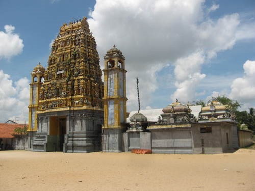
Kokkadicholai Thaanthonrichcharar Kovil is the most significant Shaivism Kovil in Sri Lanka. It is believed to be one of the two Kovils to have naturally built Sivalingam. The chariot festival of the temple is held annually usually in the month of September.
The temple is believed to have been founded in the fourth century BC by Ulaga Naachi of the Chola Empire. The temple is also well-known for its miraculous occurrences. One of them was famously witnessed in Sri Lanka during the Portuguese rule. A bull statue within the temple ate grass and scared away the Portuguese soldiers who were attempting to destroy the temple at the time.
Koralai Pattu West
Vonfidel Ranch

- Location
Kattakadu Street Sudupathinasenai Paper Town, Oddamavadi 30420
- Overview
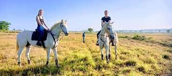
Vonfidel Ranch is a private, appointment-only equestrian estate in
Sudupathinasenai, Eastern Province. It offers suitability-reviewed
riding holidays and guided horsemanship experiences with an emphasis
on horse welfare, rider safety and responsible access. Visits and
riding are available only by prior inquiry; the Ranch is not a walk-in
attraction or independently bookable hotel.
Eravur Pattu
Punnakudah Beach

- Location
Punnakuda Road, Eravur, Batticaloa
- Overview
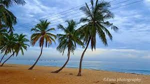
Punnakuda Beach is very famous in Batticaloa. many families visit it during their free time, Early risers can enjoy gorgeous sunrises.
Eravur Lagoon Park

- Location
Eravur 3, Eravur, Batticaloa District, Eastern Province, Sri Lanka (Located in front of the Divisional Secretariat Office Eravur Town and near to Eravur lagoon)
- Overview
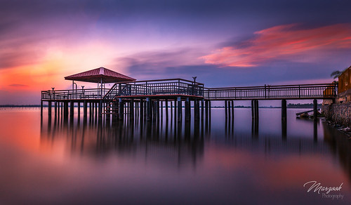
The most well-known park in Eravur. It is one among Sri Lanka's 759 parks. A nice location to unwind. There are three sorts of parks here, each with a stunning sunset view. There are parks for the elderly, children, and others. It is also free of charge. They keep the place in excellent condition. There is also a boat service. A large number of tourists and visitors come here with their families and friends.
Koralai Pattu
Valaichchenai Lagoon

- Overview
An estuary lagoon in the Batticaloa District of eastern Sri Lanka is called Valaichchenai Lagoon. There are three lagoons in the Batticaloa district: Valaichchenai Lagoon, Batticaloa Lagoon, and Vakari Lagoon. The Valaichchenai lagoon is located in a populous region of Oddamavadi.
The lagoon connects the Maduru Oya and Valaichchenai rivers and features muddy islands, mangroves, corals, and marshes. It allows access to the bay during the rainy months of November and December. 40–60 cm of tidal range in the lagoon's two meters of depth. Oddamavadi Bridge spans the lagoon for 250 meters and connects the local mainlands.
Pasikudah Beach

- Location
Located 35 kilometers northwest of Batticaloa, Batticaloa District, Sri Lanka.
- Overview
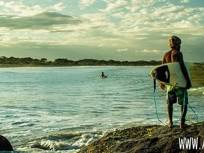
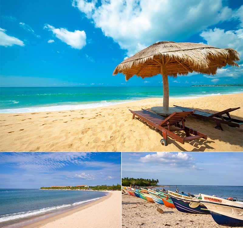
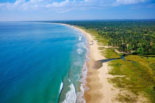
Approximately 35 kilometers from Batticaloa Town, Pasikuda, also known as the "green-algae-bay," is located on Sri Lanka's eastern seaboard between Kalkuda and the Indian Ocean. Locals and visitors from other countries are drawn to the bay's turquoise waters to surf, swim, or simply enjoy the water's pleasures under the hot tropical sun. Other activities include kite- and boogie-boarding, surfing, and canoeing across the water.
Kalkudah Beach

- Overview
Just a few kilometres from Pasikuda Bay lies Kalkudah beach, a 4km long stretch of sand that is the vision of serenity. After many years, it has been restored to its former glory, and now offers soft sands and glassy waters. The unblemished sandy slice of paradise wasn't always so.
Coconut Cultural Park

- Overview
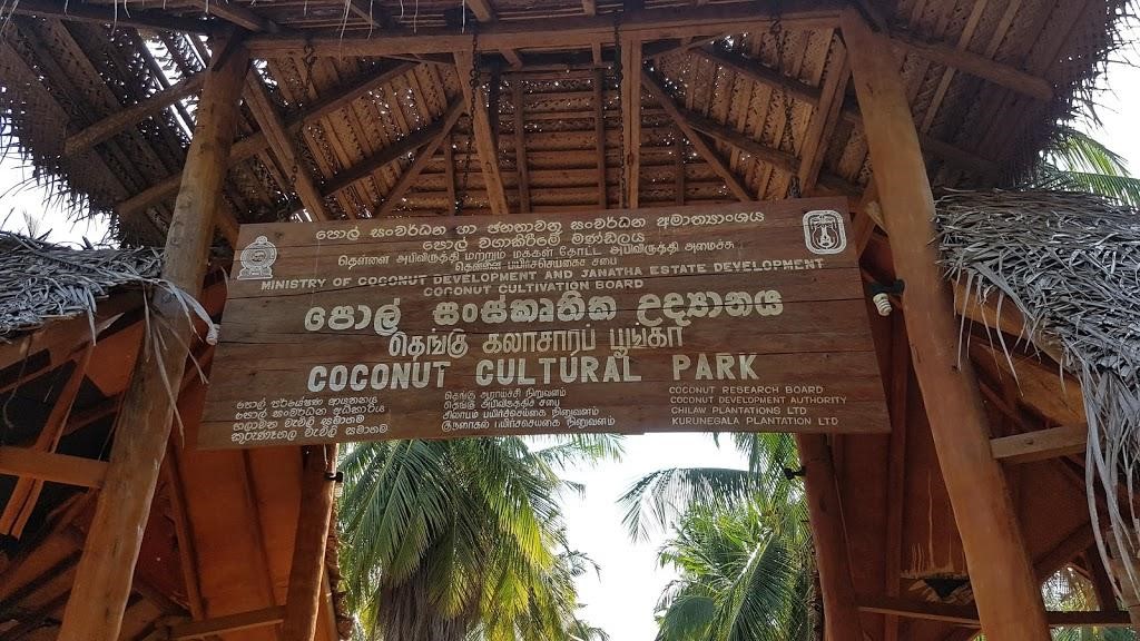
The Coconut Cultural Park is located just across from the stunning Passikudah Beach and is dedicated to the cultivation, planting, and many uses of coconuts. It's a fascinating spot to visit if you're interested in tropical vegetation. They show how to grow coconuts and how to make items including coconut oil, toddy, ropes, and rugs. This operation is run by the Coconut Development Board.
Elephant Rock Beach

- Overview
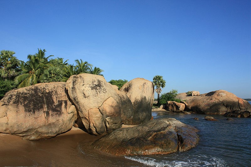
The 'elephant rock' is just this tiny rock on top of a giant orange rock that looks like a young elephant from the side. Quite random. The area is essentially a wonderful private sandy area with enormous boulders that make mini-caves beneath, and it's a great location to sit and sift through washed up shells and corals.
- Location
Don't attempt to make it to Elephant Rock by yourself. It's about 15 minutes from Hotel Street, off some repetitively winding, sometimes-abandoned, orange dirt paths, best attempted with a tuk driver arranged by the hotel you're staying at. Once you get to Pasikuda Bay, it's a gruelling 9 hour train ride or 8-ish hour A/C bus ride from Colombo.